Snæfellsnes Peninsula: A Loki Travel Guide to Iceland’s Wild West
The Snæfellsnes peninsula is sometimes called Iceland in miniature, and the nickname earns its keep. In the span of a single morning you can move […]
The Snæfellsnes peninsula is sometimes called Iceland in miniature, and the nickname earns its keep. In the span of a single morning you can move […]
The Snæfellsnes peninsula is sometimes called Iceland in miniature, and the nickname earns its keep. In the span of a single morning you can move from black sand beaches to lava fields, from glacier-capped volcanoes to tiny fishing villages where the harbour still wakes before the rest of the country. The locations below sit along its coast and interior, each one a chapter in the peninsula’s long, salt-bitten story. Some are villages still very much alive. Others are landscapes that have outlasted the people who tried to claim them.
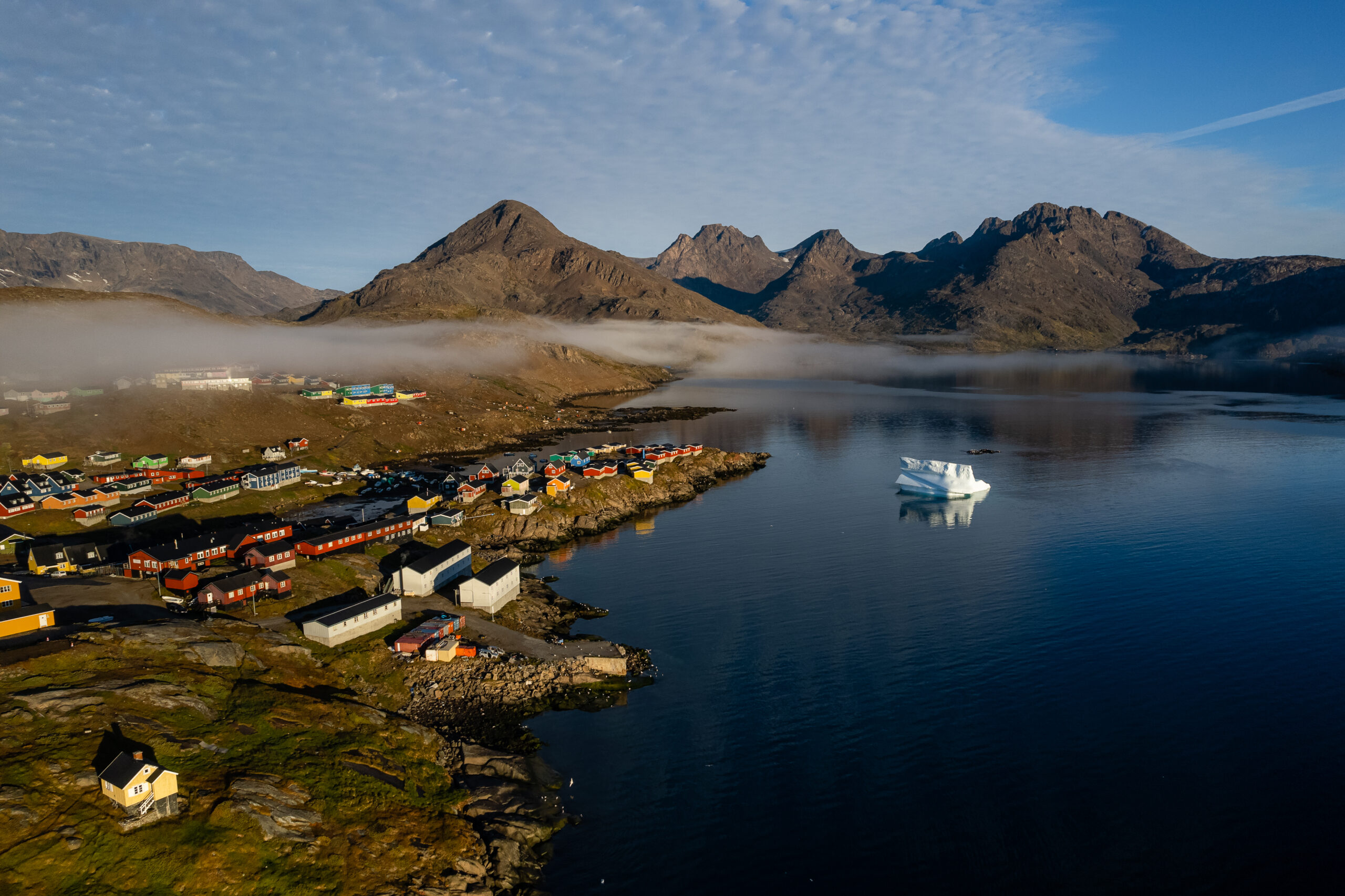
Ólafsvík sits at the north-western shoulder of the Snæfellsnes peninsula, home to a little over 1,000 people. Together with Hellissandur, Rif, Arnarstapi and Hellnar, it forms the Snæfellsbær municipality, which counts roughly 1,700 inhabitants in all. The village has grown quickly since 1950 and is ringed by some of the most beautiful country in Iceland.
Its harbour has a long memory. In the 17th and 18th centuries, commercial vessels sailed between Ólafsvík and Denmark, and the village stood among Iceland’s larger trading ports. It was granted certified trading place status by the Danish King and Danish authorities in 1687.
Arnarstapi is a small fishing village on the southern side of the Snæfellsnes peninsula, tucked at the foot of Mt. Stapafell. A little over 100 people live here today. The bay was a natural landing place for small vessels, which made it a busy fishing harbour and commercial centre from very early on, servicing the west coast under the Danish crown.
The Danish merchant monopoly took hold in 1565. From that point and through the 17th and 18th centuries, agents of the crown held custodial power over Arnarstapi and were granted commercial rights by royal appointment over nearby lands once owned by the Helgafell monastery, holding a monopoly on all trade in the area. Several old houses from that period still stand at Arnarstapi, each with a story of its own. The Amtmannshús, the Danish Prefect’s Residence from 1774 to 1787, has had a particularly restless life. It was moved in 1849 to nearby Vogur á Mýrum, where it remained until 1983, returned to Arnarstapi in 1985, and was declared a historical site in 1990.
Today Arnarstapi is a thriving local tourism hub in summer, with a mix of natural and culinary attractions and a cluster of second homes scattered in and around the village. The old horse trail past Neðstavatn is now a popular one hour hike that crosses the lava and threads along the coast to Hellnar. The lava field is called Hellnahraun, and at its westernmost edge sits the ancient hamlet of Hellnar. The coastline here is a natural reserve, and along the shore the waves carve out shapes that catch the light in unforgettable ways. The finest of these are at the cliff Gatklettur and the stone bridges called Hundagjá, Miðgjá and Músagjá.
Among the sea-sculpted stones at Arnarstapi you will also find a great statue of Bárður. According to Bárðar Saga Snæfellsáss, Bárður was the settler of this region, half man and half troll. His father was half titan, his mother human. He came to Iceland in the 9th century and gave the peninsula its name (the words “snær” and “snjór” both mean snow in Icelandic). He is considered the protector of Snæfellsnes.
This popular destination also plays a key role in Jules Verne’s A Journey to the Center of the Earth, where Arnarstapi (called ‘Stapi’ in the novel) is the last stop before the protagonists climb Snæfellsjökull and descend into the earth through a tunnel in the crater.
Grundarfjörður is a small village of nearly 900 people on the north coast of the Snæfellsnes peninsula in west Iceland, sitting close to one of the most beautiful mountains in the country, Kirkjufell. It is one of the most popular stops on a Snæfellsnes tour, thanks to its quiet pace and the landscape that wraps around it. Mountains rise on every side, and waterfalls come at you in such number that it is hard to count them. Like its neighbours on the peninsula, the village earns its keep from fishing and fish processing.
Historically, Grundarfjörður has carried real weight. It has been a centre of trade for the Snæfellsnes peninsula since at least the 15th century, and in 1786 it was officially certified as one of the country’s six designated marketplaces. It is believed to be one of the first inhabited locations in Iceland when settlers first arrived.
For a long time the town was called Eyrarsveit, until the name was changed to Grundarfjarðarbær in the year 2000.
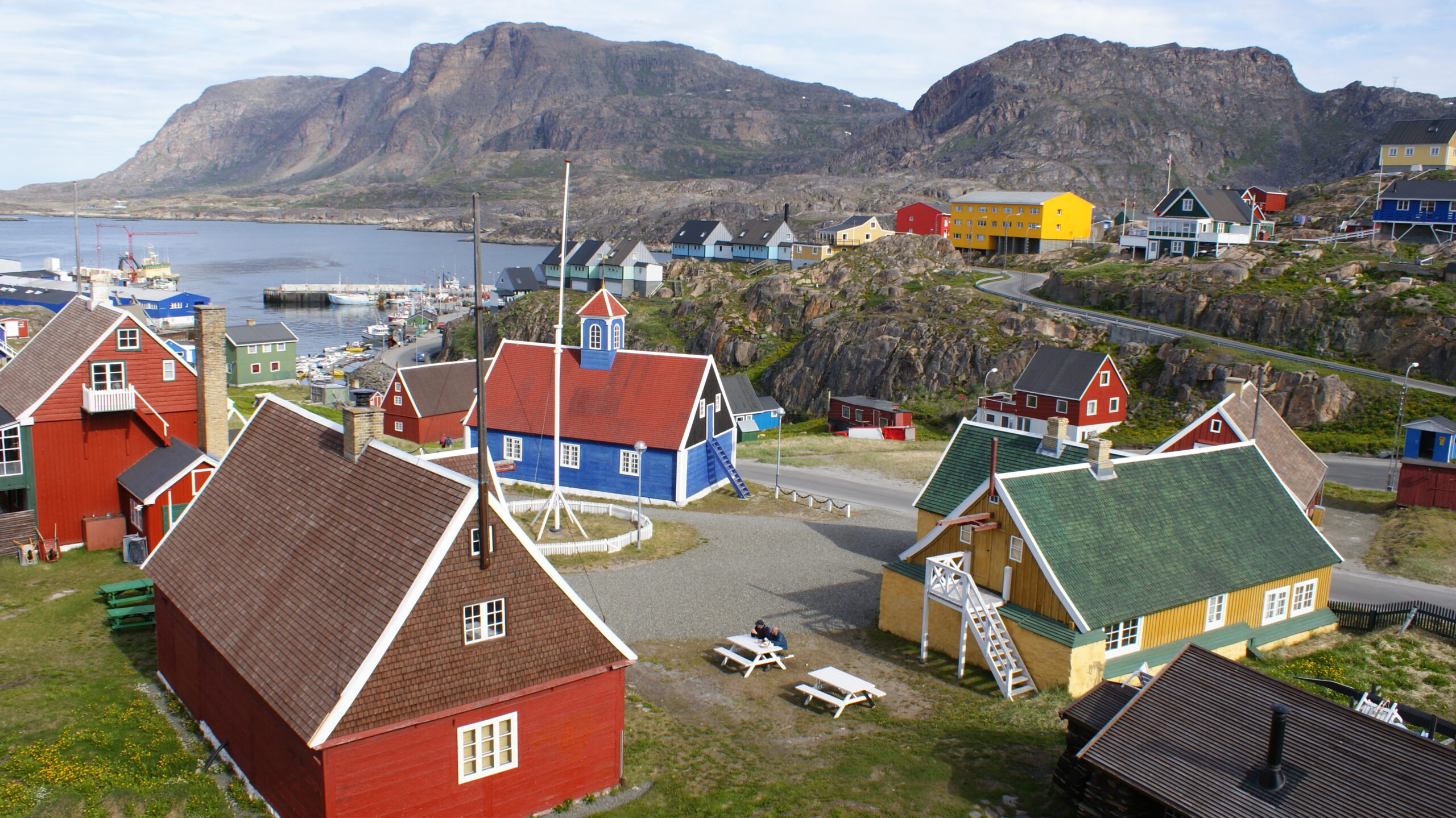
Stykkishólmur is a town and municipality of nearly 1,200 people, sitting on the northern side of the Snæfellsnes peninsula. It is often referred to as the capital of Snæfellsnes. Most who live here make their living from fishing and tourism. The town’s origin traces back to its natural harbour, which made it an important trading post early in Iceland’s history. The first trading post at Stykkishólmur dates to the mid-16th century, before Denmark introduced the Danish–Icelandic Trade Monopoly (1602 to 1787), and trade has sat at the heart of the settlement’s story ever since.
The town also had its moment on screen. Stykkishólmur stood in for a Greenlandic town in the film The Secret Life of Walter Mitty.
Just offshore, the Breiðafjörður fjord scatters nearly 2,800 small islands between Stykkishólmur and the Westfjords. It is the second largest fjord in Iceland. A ferry called Baldur crosses Breiðafjörður to the Westfjords, stopping along the way at Flatey Island, the largest of the lot, with a permanent population of six.
Each year on the second or third weekend in August, Stykkishólmur celebrates the Danskir dagar festival (“Danish days”), honouring the town’s deep Danish connections. The festival has run every year since 1994.
Kirkjufell, or “Church Mountain”, is a 463 metre peak on the north coast of the Snæfellsnes peninsula, near Grundarfjörður. It is widely claimed to be the most photographed mountain in Iceland. It also had a starring role in Game of Thrones seasons 6 and 7, appearing as the “arrowhead mountain” the Hound and his company spot north of the Wall while hunting a white walker.
Despite its volcanic rock, Kirkjufell is not itself a volcano. It is a former nunatak, a mountain that pushed up above the glaciers that surrounded it during the Ice Age. Before that it was part of the area’s strata, which is composed of alternating layers of Pleistocene lava and sandstone, with tuff at the summit.
It is possible to hike to the top of Kirkjufell, but the route is no easy thing. Many people have been seriously injured on the climb, and some have lost their lives. The ascent takes around 1.5 hours and is not for anyone with a fear of heights. It is treacherous, narrow in places, and far more dangerous in wet conditions, when the rock turns slick. If you intend to make the climb, we strongly recommend going with an experienced guide and the right equipment.
Búðir is a small hamlet on the southern edge of the Snæfellsbær municipality on the Snæfellsnes peninsula. Surrounded by the lava field known as Búðarhraun, the place is home to one of Iceland’s most striking churches and a hotel, but is otherwise uninhabited. The first Búðakirkja was built in 1703, but was eventually deconstructed when the area ran short on parishioners. The church that stands today was reconstructed in 1987, after a single devoted member of the congregation lobbied to have it brought back.
The site holds a historic graveyard, along with relics including a bell and chalice that survive from the original church. The real pull, though, is the church’s pure black paintwork and its solitary place in the lava. The Black Church is a magnet for photographers and travellers, and a quietly famous spot for couples from around the world to marry.
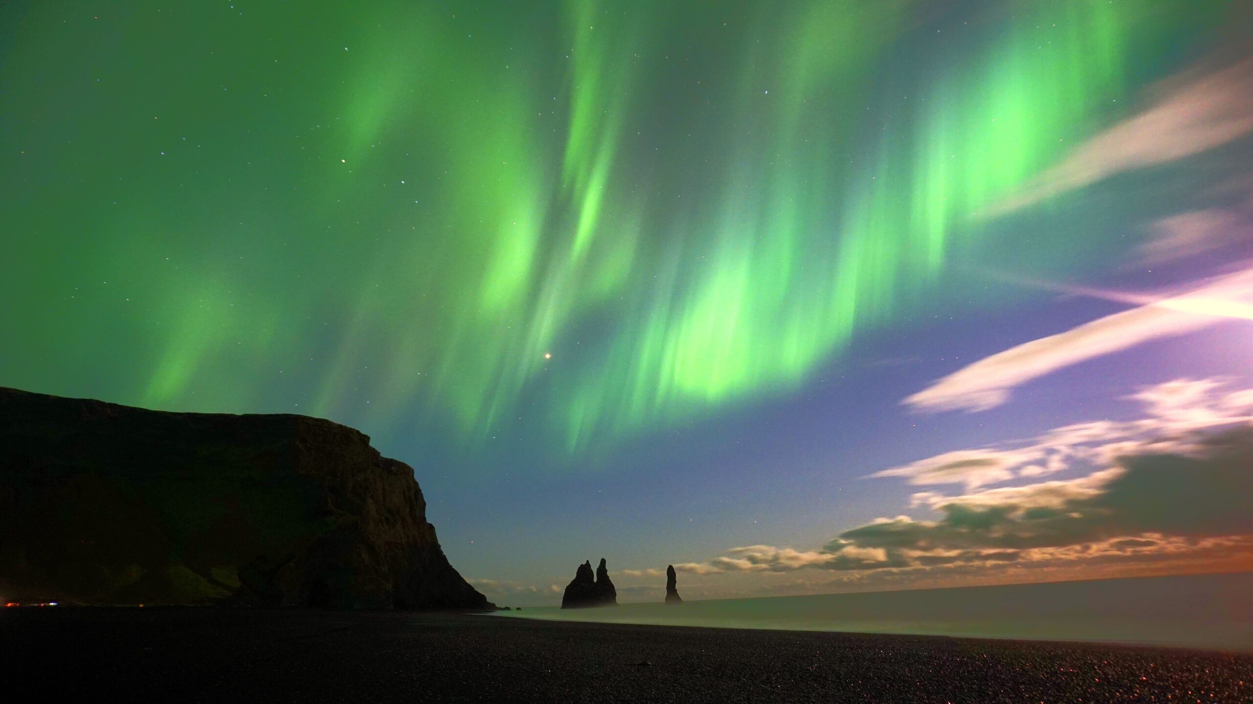
Snæfell, also called Snæfellsjökull, is a 700,000 year old glacier-capped stratovolcano on the Snæfellsnes peninsula. It rises 1,446 metres above sea level, covers 170 square kilometres, and is wrapped by one of Iceland’s three national parks. It is the first national park to stretch from the summit of a mountain all the way down to the sea. The park was established on June 28, 2001, to protect the unique landscape, the rare plants and animals that live within it, and the important historical relics scattered around the mountain.
In Jules Verne’s 1864 novel A Journey to the Center of the Earth, this volcano is the doorway to the planet’s interior. The real volcano’s last eruption, according to scientists, was around 1,750 years ago.
Ingjaldshóll is a small hill near the villages of Ólafsvík, Hellissandur and Rif on the Snæfellsnes peninsula. The red and white church that stands here was built in 1903, but a much older church preceded it. The earlier building, raised in 1317, is said to have been one of the three most important churches in Iceland up until the 19th century. For centuries its income came mainly from the rich fishing grounds of the nearby villages. Ólafsvík held one of the largest trading ports in Iceland, where commercial vessels sailed between the village and Denmark collecting fish, and Ólafsvík was granted certified trading place status by the Danish King and Danish authorities in 1687.
The church you see today carries another distinction: it was the first church in the world built entirely out of concrete. An old legend also holds that Christopher Columbus sailed to nearby Rif and wintered at Ingjaldshóll in the summer of 1477, where he learned about the Viking voyages to lands west of Iceland.
64.8952° N, 23.8118° W
Svöðufoss is a 10 metre waterfall close to the villages of Ólafsvík, Rif and Hellissandur on the Snæfellsnes peninsula. It is one of the Snæfellsbær municipality’s quiet hallmarks, and it is steadily becoming more popular with travellers. The water that feeds it comes from Snæfellsjökull glacier, and it spills over a cliff lined with beautifully formed basalt columns.
A newly built pathway and parking lot make it easy to reach the main viewpoint, though it does not take you all the way to the foot of the falls. The hike up takes around 30 minutes from the car park and is fairly easy. Follow the pathway until you reach a small set of benches facing the waterfall, and from there continue upstream along the river.